
Drone 3D laser scans in Leeds
For advanced drone 3D laser scans in Leeds and nationwide, the UAV pilots and surveyors at Datum Site Engineering Services are at your service.
Our drone 3D laser scanning in Leeds
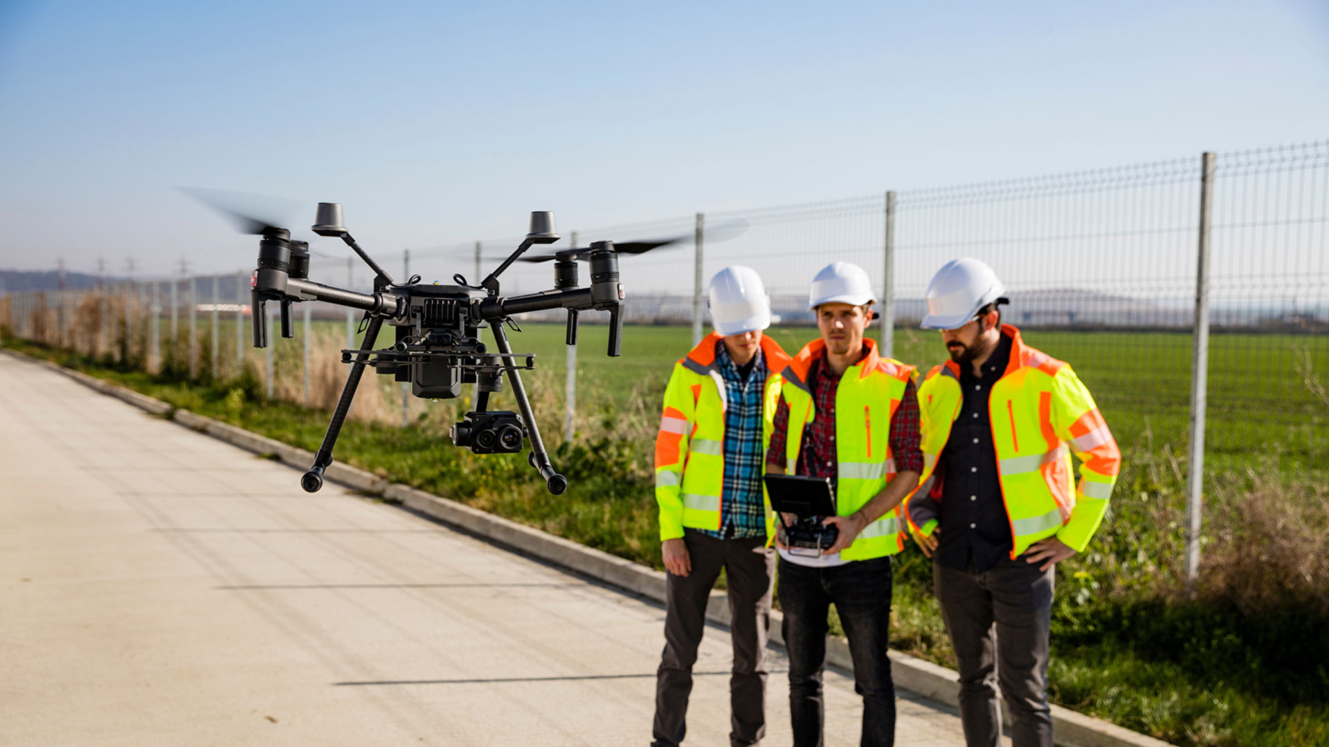
Drone 3D laser scanning has become an essential tool in modern surveying, bringing together UAV mobility and LiDAR technology to create highly detailed three-dimensional records of the built and natural environment. By sending out rapid laser pulses and recording their return times, LiDAR sensors gather millions of precise measurements. When mounted on a drone, this process produces an exceptionally accurate point cloud that forms the basis of detailed terrain models and structural surveys.
Across Leeds, drone 3D laser scans are increasingly used by developers, engineers and asset managers who require precise spatial information in complex or challenging environments. After aerial data capture, our team applies specialist software to build fully scaled 3D models, providing clarity for tasks such as volumetric analysis, topographical studies and infrastructure assessment, and producing reliable as-built drawings. These digital outputs give clients confidence to plan, measure and progress projects with certainty.
Drone 3D laser scanning excels where access is difficult or where rapid turnaround is vital. From surveying quarries, industrial plants and floodplains to inspecting bridges, tunnels and heritage sites, UAV-based LiDAR scanning offers a safe and non-intrusive solution. The ability to capture dense data quickly and without the limitations of ground-based techniques reduces both time on site and overall project costs, all whilst maintaining the highest standards of accuracy.
Whether you are preparing land for development, checking the stability of existing assets or assessing storm damage, Datum’s drone 3D laser scans in Leeds deliver the insight you need. Our surveyors work closely with clients to provide tailored deliverables that streamline decision-making and support efficient project delivery.
Get in touch today to find out how our UAV-powered drone 3D laser scanning across Yorkshire can support your next project. Datum is committed to delivering surveys that are safe, accurate and future-ready.
Datum Drone 3D Laser Scans Leeds – simply better drone 3D laser scans throughout West Yorkshire.
Datum Site Engineering Services can assist you with the following services: site services, setting out engineering, site engineering surveying, topographic land surveying, 3D laser scanning, utility surveying, measuring building surveying and much more.

Datum Site Engineering Services
Datum offer a full range of site engineering services to cover all aspects of your builds requirements. So whatever your requirements may be please contact us today and lets get your project moving!


Need help with a project?
Contact Datum Site Engineering Services today and set the foundations of the perfect build.
Why choose Datum Site Engineering Services?
With an excellent, highly skilled team behind us and a proven record in the construction industry we stand by our record and reputation.

Highly Skilled Engineers
Datum Site Engineering Services team is a small but perfectly formed unit that consistently delivers top results.

Proven Track Record
Our track record of working on high end projects for a prestigious client base speaks volumes.

Cost Effective Solutions
We deliver outstanding results for extremely competitive prices.