
Drone 3D laser scans in Birmingham
Datum Site Engineering Services use drone 3D laser scans in Birmingham and across the country to give unprecedented support to clients’ projects.
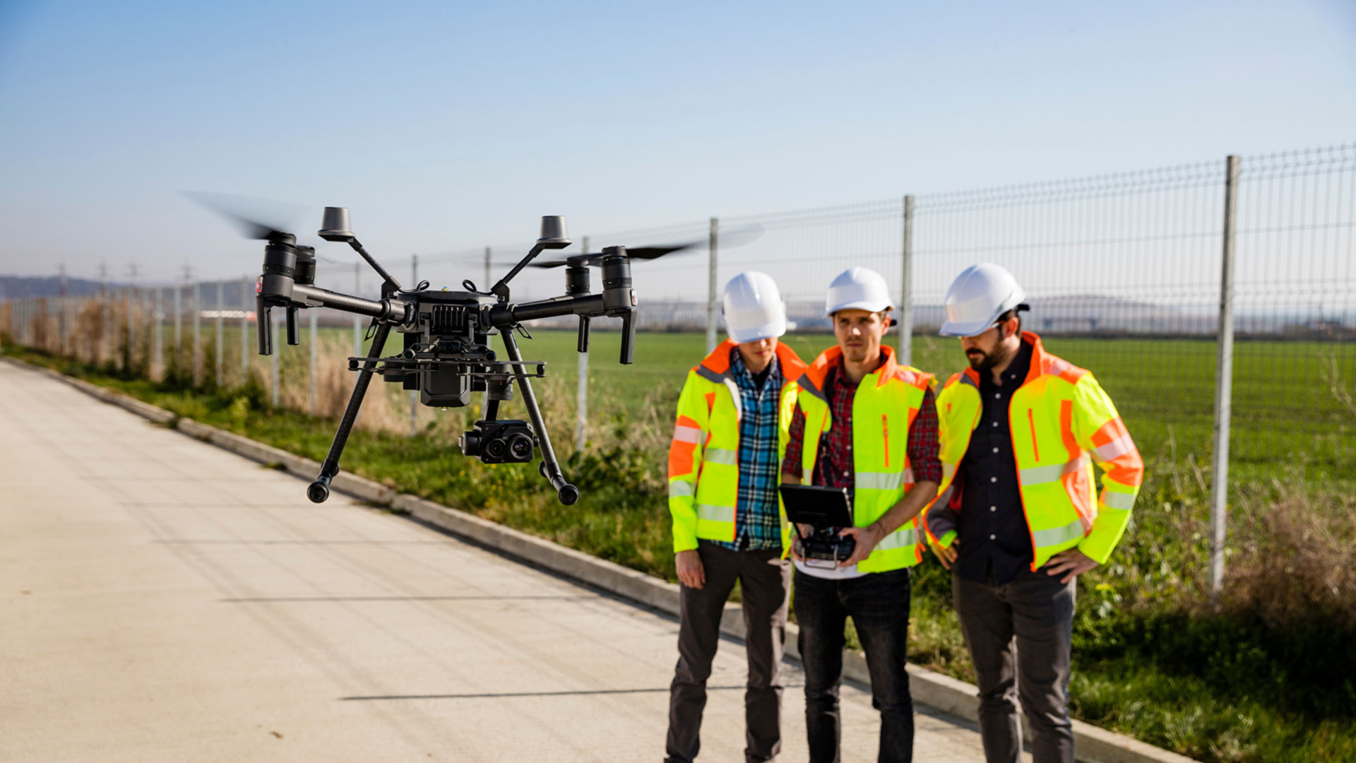
Our drone 3D laser scanning in Birmingham
Drone 3D laser scanning is changing the way we collect and interpret spatial data, and at Datum Site Engineering Services, we’re bringing this cutting-edge capability to the Midlands’ built and natural environments. By combining aerial drone technology with precision LiDAR scanning, we deliver detailed three-dimensional models of even the most inaccessible areas, safely, quickly, and with survey-grade accuracy.
Outfitted with high-performance laser sensors, our UAVs capture millions of geospatial data points from the air. This technology, LiDAR (Light Detection and Ranging), works by emitting rapid light pulses towards the surface and timing their return, enabling us to create detailed point clouds that faithfully replicate the topography and built structures below.
Our drone 3D laser scanning service is proving increasingly popular across Birmingham with contractors, developers and engineers. Once aerial data collection is complete, we use specialist software to construct full 3D models tailored to each client’s needs. These can be used for everything from measuring cut-and-fill volumes and analysing landforms, to producing highly accurate as-built surveys or inspecting infrastructure at height. With every drone 3D laser scan, our clients receive a virtual model packed with clarity, depth and measurable detail, ideal for confident decision-making and technical analysis.
Drone 3D laser scans are particularly valuable on sites where traditional surveying is time-consuming, hazardous or logistically challenging. Our UAVs can cover large or complex areas in a fraction of the time it takes to complete a manual survey. Bridges, tunnels, tall structures and environmentally sensitive zones can all be scanned without physical contact, making this method ideal for civil engineering, construction, environmental consultancy and disaster assessment applications.
Whether you're overseeing a large-scale construction project, assessing the condition of ageing infrastructure, or documenting storm damage across a wide area, our drone 3D laser scanning service represents a practical, efficient and highly accurate solution. Our team delivers results you can rely on, empowering every stage of your project with intelligent data and real-world insight.
Reach out to Datum today to discover how drone 3D laser scans in Birmingham will contribute enormously to the successful outcomes of your projects. It's a smarter way to survey; the future is already here!
Datum Drone 3D Laser Scans Birmingham – simply better drone 3D laser scans throughout the West Midlands.
Datum Site Engineering Services can assist you with the following services: site services, setting out engineering, site engineering surveying, topographic land surveying, 3D laser scanning, utility surveying, measuring building surveying and much more.

Datum Site Engineering Services
Datum offer a full range of site engineering services to cover all aspects of your builds requirements. So whatever your requirements may be please contact us today and lets get your project moving!


Need help with a project?
Contact Datum Site Engineering Services today and set the foundations of the perfect build.
Why choose Datum Site Engineering Services?
With an excellent, highly skilled team behind us and a proven record in the construction industry we stand by our record and reputation.

Highly Skilled Engineers
Datum Site Engineering Services team is a small but perfectly formed unit that consistently delivers top results.

Proven Track Record
Our track record of working on high end projects for a prestigious client base speaks volumes.

Cost Effective Solutions
We deliver outstanding results for extremely competitive prices.