
Drone 3D laser scans in London
The specialists at Datum Site Engineering Services provide state-of-the-art drone 3D laser scans across London, the South-East, and throughout the country.
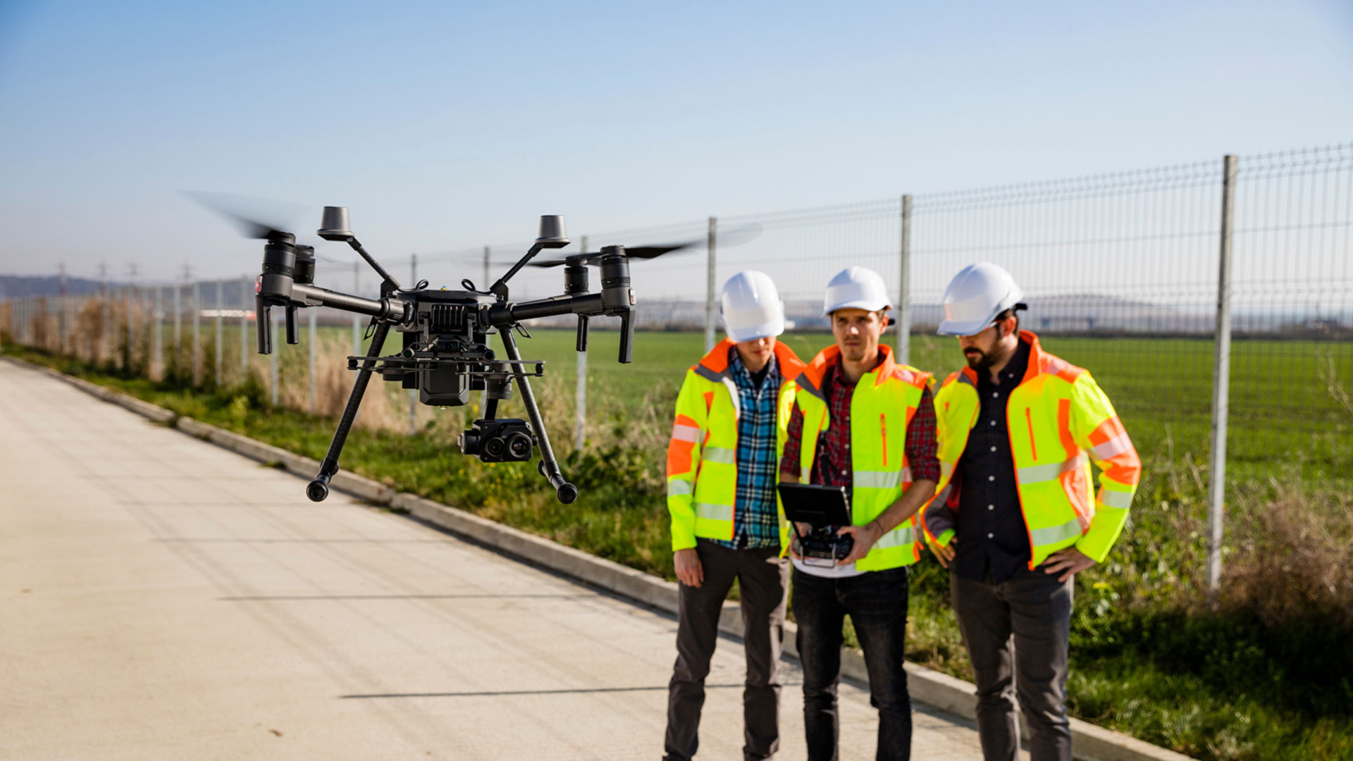
Our drone 3D laser scanning in London
Drone 3D laser scanning is revolutionising how spatial information is gathered and used. By pairing advanced drone technology with high-precision LiDAR sensors, we’re able to capture richly detailed three-dimensional representations of both built environments and natural landscapes, even in locations where conventional access would be difficult, hazardous or time-consuming.
Our drones are equipped with state-of-the-art laser scanning technology that collects millions of precise measurements from above. This system, LiDAR (Light Detection and Ranging), emits rapid pulses of laser light towards the surface and records the time it takes for each one to reflect back. The result is a highly accurate point cloud: a dense digital mesh of spatial coordinates that forms the foundation for detailed terrain and structure modelling.
Throughout London drone 3D laser scans are increasingly in demand among construction professionals, because dense urban settings and complex infrastructure call for flexible survey solutions. After capturing the aerial data, our expert team processes it using specialised software to generate a detailed and true-to-scale 3D model of the target area. These digital replicas are ideal for applications such as volume estimation, terrain analysis, structural inspection and for producing reliable as-built documentation. With exceptional clarity and precision, each model helps clients to visualise conditions, carry out measurements, and make confident, data-driven decisions.
Drone 3D laser scanning proves particularly valuable when time is tight, access is limited, or safety is paramount. The system enables swift data capture across vast or difficult sites, saving time and reducing costs compared to traditional ground-based surveys. From scanning bridges, viaducts and tunnels to monitoring industrial facilities, mining operations or ecologically sensitive areas, our contactless drone LiDAR surveys are ideally suited to a wide array of projects in construction, engineering, environmental consultancy and disaster response.
Whether you’re developing a site, inspecting ageing infrastructure, or surveying the aftermath of severe weather, Datum’s drone 3D laser scans deliver a safe, efficient and remarkably accurate solution. Our experienced surveyors provide tailored outputs that meet your requirements, driving smarter decisions and faster project progression.
Contact us today to learn how our drone 3D laser scans in London can support your work. This is a modern approach to surveying, and we're leading the charge.
Datum Drone 3D Laser Scans London – simply better drone 3D laser scans throughout the UK.
Datum Site Engineering Services can assist you with the following services: site services, setting out engineering, site engineering surveying, topographic land surveying, 3D laser scanning, utility surveying, measuring building surveying and much more.

Datum Site Engineering Services
Datum offer a full range of site engineering services to cover all aspects of your builds requirements. So whatever your requirements may be please contact us today and lets get your project moving!


Need help with a project?
Contact Datum Site Engineering Services today and set the foundations of the perfect build.
Why choose Datum Site Engineering Services?
With an excellent, highly skilled team behind us and a proven record in the construction industry we stand by our record and reputation.

Highly Skilled Engineers
Datum Site Engineering Services team is a small but perfectly formed unit that consistently delivers top results.

Proven Track Record
Our track record of working on high end projects for a prestigious client base speaks volumes.

Cost Effective Solutions
We deliver outstanding results for extremely competitive prices.